news
Statistics Guide Emergency Services Planning in Far North Queensland
Regional figures on incidents and funding shape how services prepare for cyclones and other events across Cairns and surrounding areas.
How we reported this
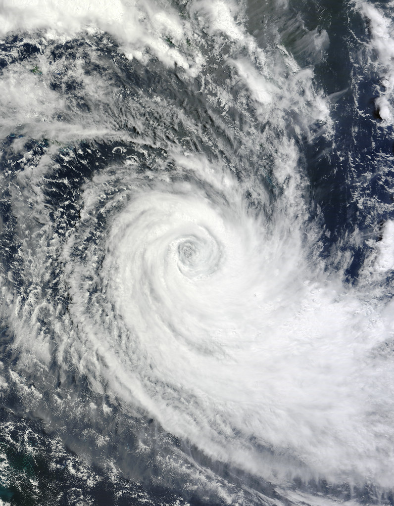
Emergency services across the Cairns region draw on incident counts and funding allocations to set priorities for the coming months.
The focus on numbers comes as far north Queensland faces recurring seasonal pressures that affect multiple communities at once. Cyclone and disaster resilience funding sits at the centre of these calculations because it determines how quickly crews can reach remote locations after events hit.
Local patterns shape resource use
Cairns itself, along with nearby coastal and hinterland zones, records repeated calls tied to weather and road incidents each year. First Nations treaty process discussions have also highlighted the need for data that captures how services reach Aboriginal and Torres Strait Islander communities in the region. Agriculture and water allocation disputes add another layer because flooding or drought can quickly change the type of emergency calls crews receive.
Great Barrier Reef legislation and fishing industry tension further influence planning because marine incidents require specialised equipment that must be positioned in advance. Pacific Island diaspora community networks in Cairns often assist with information sharing after events, which helps refine the statistics used by response teams.
Qualitative picture of available evidence
Available records show that disaster resilience programs receive annual reviews based on call volumes and response times rather than single headline events. These reviews compare figures from previous cyclone seasons with current staffing levels to identify gaps before the next wet season arrives.
Authorities continue to examine how existing funding streams match the spread of incidents across far north Queensland. Residents can check local council websites and Queensland emergency service portals for updates on preparedness measures and contact points for their suburb.