Cairns Regional Council's geographic information systems team quietly flagged the problem last month: hundreds of duplicate aerial and ground-level images had accumulated across shared government databases, compromising the accuracy of planning maps used for development assessments across the Douglas Shire and Cairns local government areas. Now, a wider circle of officials, environmental bodies and cultural groups are speaking out about what they see as a systemic failure in how public agencies manage digital image records.
The timing matters. The Queensland Government's Land Tenure Mapping Program, which feeds directly into both reef buffer zone assessments and First Nations native title negotiations, is mid-cycle. Errors introduced by duplicate or mismatched imagery can cascade into faulty boundary calculations — a concern that has drawn pointed attention from groups operating along the coastal strip between Cairns CBD and the Daintree National Park.
Who Is Raising the Alarm
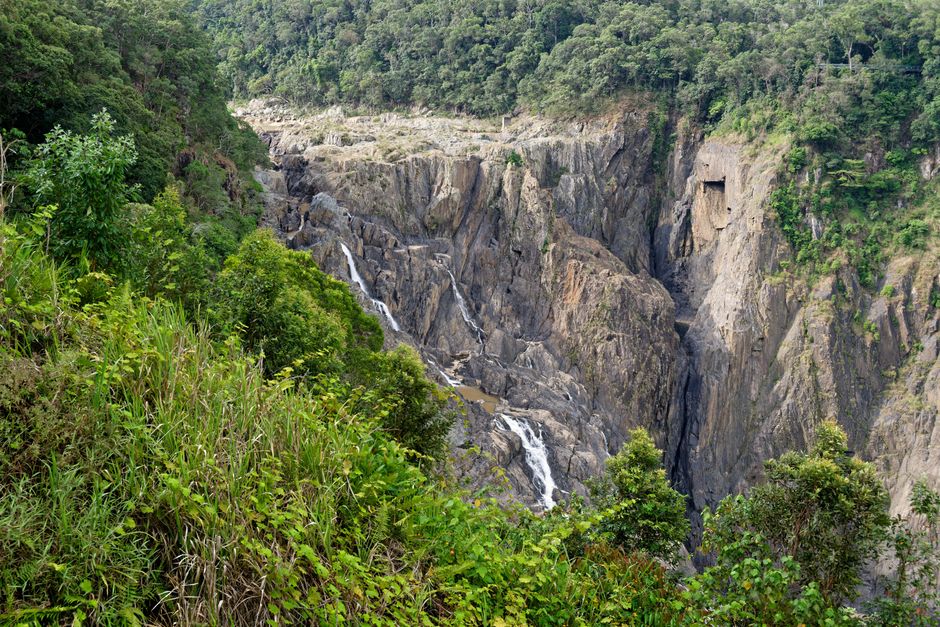
The Reef and Rainforest Research Centre, based on Sheridan Street in the Cairns city centre, has worked with satellite and drone imagery for reef health monitoring for years. Staff there have identified instances where duplicated image files — sometimes differing only by metadata timestamp — were indexed as separate records in shared Queensland Government repositories, potentially skewing spatial analysis used to track bleaching events on inshore reefs between Cape Tribulation and Green Island.
Cairns Local Aboriginal Land Council representatives have raised similar concerns in the context of the state's First Nations treaty preparatory process. Cultural mapping, which documents sites of significance across the Djabugay and Yirrganydji country surrounding the ranges west of Smithfield, depends heavily on clean photographic and spatial records. When duplicate images are filed under conflicting coordinates, the integrity of those archives — which communities have spent years building — is put at risk.
At the local government level, Cairns Regional Council's planning directorate uses imagery sourced from at least three external providers to underwrite decisions on everything from stormwater easements in Manoora to tree canopy assessments in Whitfield. A council planning officer, speaking in a general briefing note published on the council's public portal in June 2026, described the duplicate image issue as a "workflow inefficiency" affecting assessment timeframes — though the note stopped short of quantifying the delay or cost.
The Numbers Behind the Problem
Queensland's Spatial Information office, a unit within the Department of Resources, published a state audit in March 2026 showing that approximately 14 percent of imagery assets held in the QSpatial public database contained duplicate or near-duplicate records — a figure the audit attributed to inconsistent file naming conventions adopted by different agencies between 2018 and 2024. The QSpatial platform hosts more than 2.4 million individual image tiles covering Queensland, including high-resolution coastal imagery critical to Great Barrier Reef Marine Park Authority monitoring work.
The Marine Park Authority, headquartered on the Cairns waterfront at Reef Fleet Terminal, manages its own image repository but ingests supplementary data from QSpatial. A duplication rate of 14 percent across a dataset that size means tens of thousands of files require manual review — work that, according to the March audit, had not been fully resourced as of the document's publication date.
Agricultural stakeholders in the Atherton Tablelands have also noted the downstream effects. Irrigation licence mapping, which determines water allocation entitlements for farms around Mareeba and Tolga, relies on accurate cadastral imagery. Duplicate files with mismatched capture dates have, in at least two documented cases cited in Queensland Farmers' Federation correspondence to the Department of Resources this year, contributed to boundary disputes that required resurveying at the applicant's expense.
For residents and businesses, the most practical step is to check any imagery or spatial data obtained from QSpatial against the capture date metadata before using it in formal submissions to council or state agencies. Cairns Regional Council's development services team, reachable through the Spence Street offices, has advised applicants since May 2026 to attach a metadata confirmation sheet to any plans relying on third-party spatial imagery. The Department of Resources says a deduplication project is scheduled to complete by the first quarter of 2027 — but until that work is done, the burden of verification falls largely on the people who need the data most.