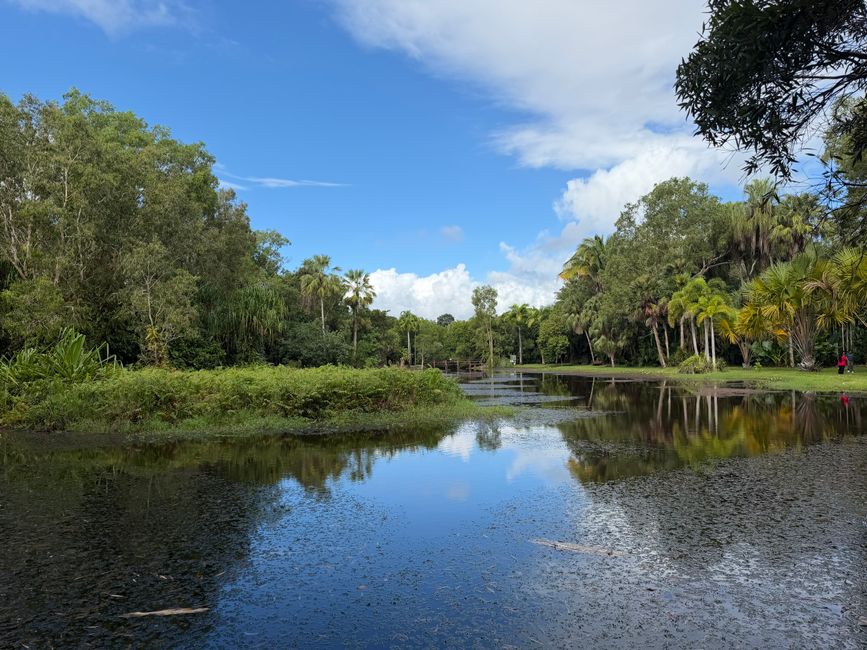
Cairns residents walked more than 2.1 million kilometres collectively on the city's tracked trail networks in the 12 months to June 2026, according to Cairns Regional Council figures — a 14 percent jump on the previous year. The numbers confirm what any local park regular already suspects: outdoor fitness here isn't a trend, it's infrastructure.
The timing matters. With gym memberships averaging $65 a month across the CBD and the cost-of-living squeeze showing no sign of easing, free outdoor routes have become a genuine alternative rather than a casual supplement to paid fitness. Physios and GPs at practices along Sheridan Street have reported a rise in patients citing trail walking as their primary exercise, which means picking the right distance and difficulty has become a practical health decision, not just a lifestyle choice. Anyone with specific health concerns should check in with a local medical professional at Cairns Base Hospital or a community clinic before taking on steep terrain.
The Esplanade and City Fringe: Where Beginners Start
The Cairns Esplanade Boardwalk remains the city's most forgiving entry point. The sealed, flat path runs 2.5 kilometres from Wharf Street near the Reef Fleet Terminal north to the Cairns Aquarium precinct, takes roughly 30 minutes at a moderate pace, and is rated easy by the council's own trail classification system. It's pram-friendly, fully lit after dark, and the lagoon marks the halfway point for anyone using it as a turnaround. Foot traffic peaks between 5:30 and 7:30 in the morning, so arriving before 5:15 am or after 8 am makes for a far less crowded experience.
One step up in difficulty is the circuit around Lake Placid, 16 kilometres northwest of the CBD via the Captain Cook Highway. The unsealed loop is 4.2 kilometres, rated easy-to-moderate, and takes most walkers 55 to 70 minutes. The path skirts the edge of the lake and passes through pockets of riparian rainforest. The Cairns Bushwalking Club, which holds a public calendar on its website and runs organised walks most Saturdays, lists Lake Placid as one of its introductory routes for new members.
Tablelands Trails: Distance and Elevation for the Serious Walker
Forty-five minutes southwest of the CBD, the Atherton Tablelands opens up a completely different category of trail. The Rainforest Discovery Walk at Curtain Fig National Park near Yungaburra is a deceptively gentle 1.2-kilometre loop — rated easy — but it serves as a useful warm-up before attempting longer Tablelands routes. Most walkers combine it with the nearby Lake Eacham circuit, which stretches 3.8 kilometres around the crater lake at an easy-to-moderate grade.
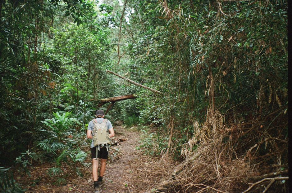
For those chasing something harder, the trail to Josephine Falls in Wooroonooran National Park, accessed via the Palmerston Highway about 90 kilometres south of Cairns, delivers 1.6 kilometres of moderately rated rainforest track before reaching the falls themselves. The elevation gain is modest on paper but the humidity adds genuine effort. Queensland Parks and Wildlife Service rates the trail as suitable for most fitness levels but recommends starting before 9 am in winter to avoid afternoon cloud cover on the return. Entry to the national park section is free.
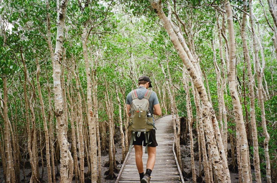
Closer to town, the Red Arrow and Blue Arrow tracks in the Whitfield Range, accessed from Collins Avenue in Edge Hill, cover between three and six kilometres depending on the loop chosen. Both are rated moderate to hard, with the Blue Arrow pushing into serious territory on its ridgeline section. The Cairns City Council maintains these tracks and completed a drainage upgrade on the Red Arrow in March 2026, which has reduced the notorious mudslide risk on the steeper descent.
The practical starting point for anyone building a walking habit is to match distance to current fitness rather than ambition. The Esplanade's 2.5-kilometre flat loop four times a week for a month gives the ankle tendons and hip flexors time to adapt before anyone commits to Collins Avenue's inclines. The Cairns Bushwalking Club, the council's TrailsNQ map portal, and the Queensland Parks app all carry up-to-date track conditions and difficulty ratings — checking all three before a new route is worth the five minutes it takes.